


The SATH project is commissioned by the Niger Basin Authority (NBA) and has as aim to install a satellite based water monitoring and flow forecasting system for the Niger River Basin. The project is financed by the Dutch Ministry of Foreign Affairs and the Niger Basin Authority and is carried out by the Niger Basin Authority, eLEAF and IHE Delft.
The River Niger Basin
Stretching some 4,200 km, the Niger is the third-longest river in Africa. Born on the Fouta-Djallon highlands of Guinea, it carves a great arc through the Sahel – fanning out across the vast wetlands of Mali's Inner Delta before turning south through Niger and Nigeria to reach the Atlantic Ocean. Its active basin is shared by nine countries – Benin, Burkina Faso, Cameroon, Côte d'Ivoire, Guinea, Mali, Niger, Nigeria and Chad – where the river sustains food production, harbours rich biodiversity and holds back the encroaching desert: a lifeline for millions of people.
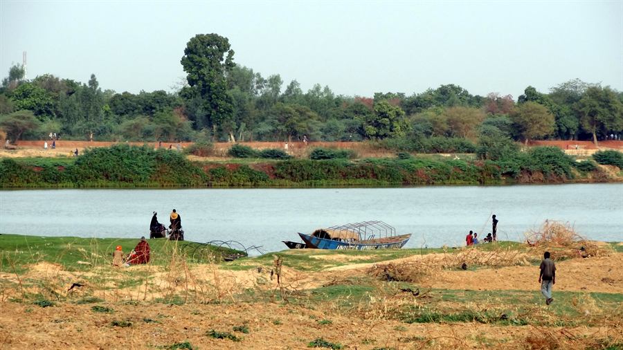
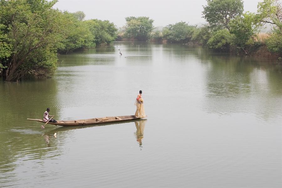
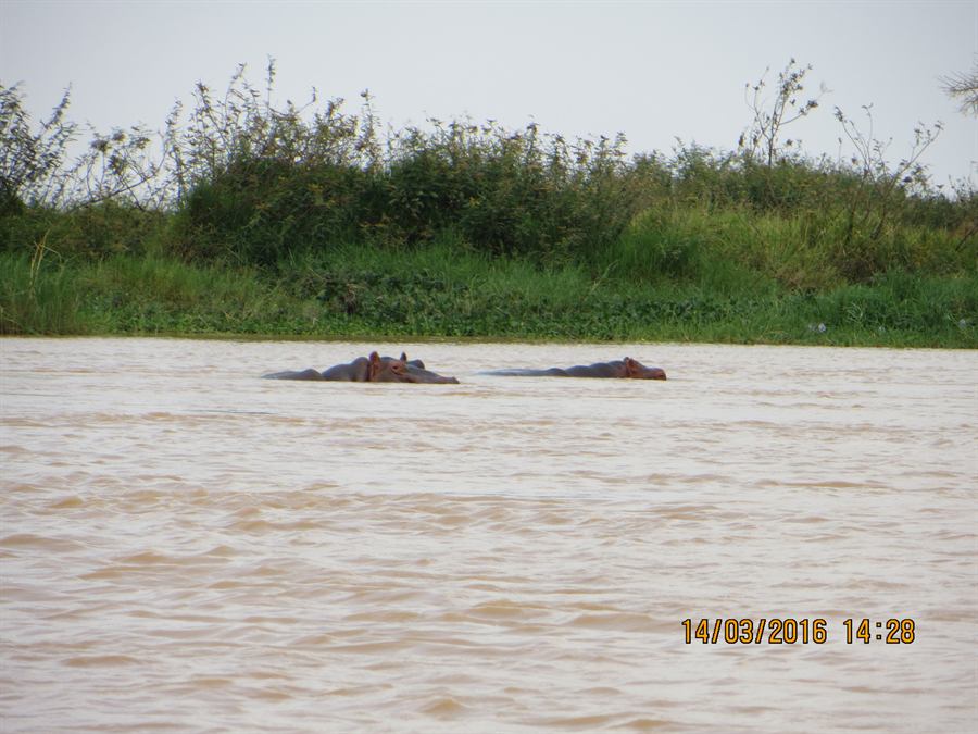
The River Niger – at Niamey, fishing from a pirogue, and hippos in the basin.
Satellite-based Climatic Monitoring

In order to increase the frequency and accuracy of water resources data, a satellite-based water monitoring and flow forecasting system is being implemented in the basin. The use of satellite-based climatic monitoring, complementary to ground-based stations, provides a very cost-effective solution to resolving real-time data scarcity issues and enhances the capability of the NBA member states in their water resources and environmental management functions. A detailed description of the monitoring and forecasting system can be found under System overview.
Niger Basin Authority (NBA)
The NBA is an inter-governmental organization of riparian states whose mission is to promote cooperation among member countries and to improve the living conditions of the basin's population through sustainable management of water resources and associated ecosystems. Its objectives are to:
- harmonize and coordinate development of national policies on development of water resources in the basin;
- participate in development planning by establishing and implementing a basin-wide integrated development plan;
- promote and participate in the design and implementation of joint works and projects;
- ensure the control and regulation of all forms of navigation on the river, its tributaries and sub-tributaries;
- participate in the formulation of requests for assistance and mobilization of resources for studies and works necessary for basin development.
While the satellite-based climatic monitoring system is based at NBA headquarters in Niamey (Niger), the information is shared amongst all of the member countries (Benin, Burkina Faso, Cameroon, Côte d'Ivoire, Guinea, Mali, Niger, Nigeria and Chad). Learn more on the NBA website.